Lon-yr-eglwys towards the centre of St Brides Major
Introduction
The photograph on this page of Lon-yr-eglwys towards the centre of St Brides Major by Jaggery as part of the Geograph project.
The Geograph project started in 2005 with the aim of publishing, organising and preserving representative images for every square kilometre of Great Britain, Ireland and the Isle of Man.

There are currently over 7.5m images from over 14,400 individuals and you can help contribute to the project by visiting https://www.geograph.org.uk
Lon-yr-eglwys towards the centre of St Brides Major
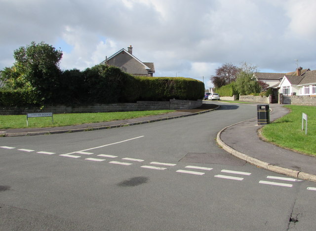
Image: © Jaggery Taken: 4 Sep 2019
Ahead for Heol-y-slough and the B4524 towards the centre of the village.
Images are licensed for reuse under creativecommons.org/licenses/by-sa/2.0
Image Location
Latitude
51.462405
Longitude
-3.594023