Upper Peak Canal south-west of New Mills in Derbyshire
Introduction
The photograph on this page of Upper Peak Canal south-west of New Mills in Derbyshire by Roger Kidd as part of the Geograph project.
The Geograph project started in 2005 with the aim of publishing, organising and preserving representative images for every square kilometre of Great Britain, Ireland and the Isle of Man.

There are currently over 7.5m images from over 14,400 individuals and you can help contribute to the project by visiting https://www.geograph.org.uk
Upper Peak Canal south-west of New Mills in Derbyshire
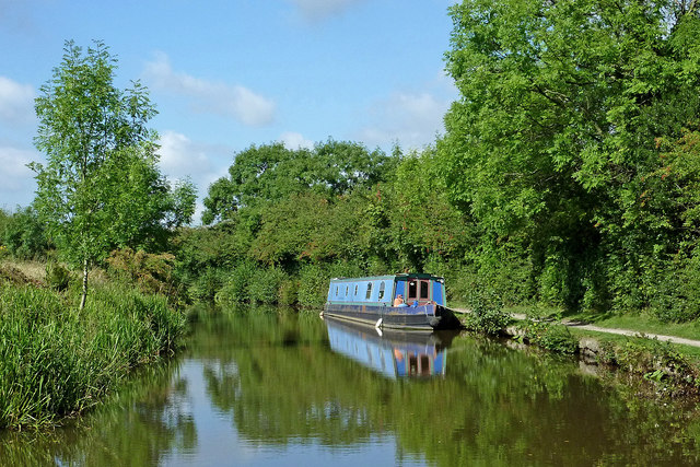
Image: © Roger Kidd Taken: 7 Sep 2014
This is the Upper Peak Canal, looking west towards Danebank and Marple. There are fine opportunities to moor in rural locations with some good views north across the Goyt Valley. David Dixon summarises:
Images are licensed for reuse under creativecommons.org/licenses/by-sa/2.0
Image Location
Latitude
53.360704
Longitude
-2.017992