Boundary fence of RNAD Broughton Moor
Introduction
The photograph on this page of Boundary fence of RNAD Broughton Moor by Bill Boaden as part of the Geograph project.
The Geograph project started in 2005 with the aim of publishing, organising and preserving representative images for every square kilometre of Great Britain, Ireland and the Isle of Man.

There are currently over 7.5m images from over 14,400 individuals and you can help contribute to the project by visiting https://www.geograph.org.uk
Boundary fence of RNAD Broughton Moor
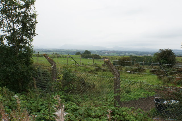
Image: © Bill Boaden Taken: 27 Aug 2019
There are not many views into this site which was closed in 1992 but hasn't received a lot of attention since. The distant Lake District fells are on this day mostly obscured by cloud.
Images are licensed for reuse under creativecommons.org/licenses/by-sa/2.0
Image Location
Latitude
54.679671
Longitude
-3.458013