Settle Junction
Introduction
The photograph on this page of Settle Junction by Steve Houldsworth as part of the Geograph project.
The Geograph project started in 2005 with the aim of publishing, organising and preserving representative images for every square kilometre of Great Britain, Ireland and the Isle of Man.

There are currently over 7.5m images from over 14,400 individuals and you can help contribute to the project by visiting https://www.geograph.org.uk
Settle Junction
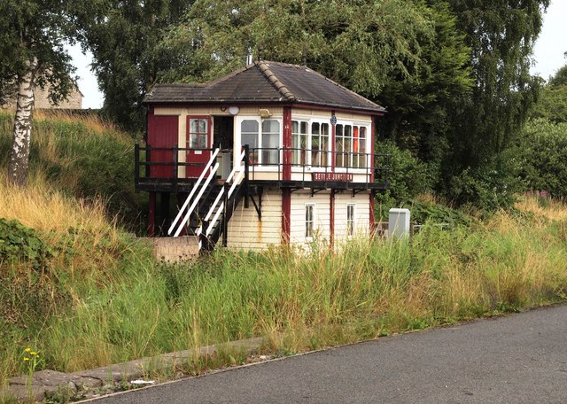
Image: © Steve Houldsworth Taken: 4 Aug 2019
The signal box at Settle Junction opposite Mear Beck lane end on the A65.
Images are licensed for reuse under creativecommons.org/licenses/by-sa/2.0
Image Location


Leaflet Map data © OpenStreetMap
Latitude
54.039235
Longitude
-2.286574