Brunton West
Introduction
The photograph on this page of Brunton West by Oliver Dixon as part of the Geograph project.
The Geograph project started in 2005 with the aim of publishing, organising and preserving representative images for every square kilometre of Great Britain, Ireland and the Isle of Man.

There are currently over 7.5m images from over 14,400 individuals and you can help contribute to the project by visiting https://www.geograph.org.uk
Brunton West
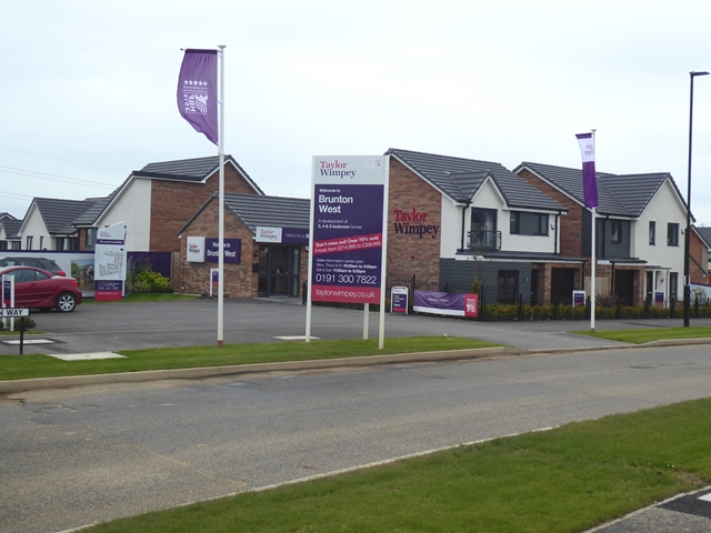
Image: © Oliver Dixon Taken: 2 Sep 2019
One of a number of simultaneous developments by various builders in the Great Park area. Not to be confused with West Brunton, the original hamlet some 500 metres to the north-west.
Images are licensed for reuse under creativecommons.org/licenses/by-sa/2.0
Image Location
Latitude
55.027464
Longitude
-1.655669