Brinklow Church
Introduction
The photograph on this page of Brinklow Church by Stephen McKay as part of the Geograph project.
The Geograph project started in 2005 with the aim of publishing, organising and preserving representative images for every square kilometre of Great Britain, Ireland and the Isle of Man.

There are currently over 7.5m images from over 14,400 individuals and you can help contribute to the project by visiting https://www.geograph.org.uk
Brinklow Church
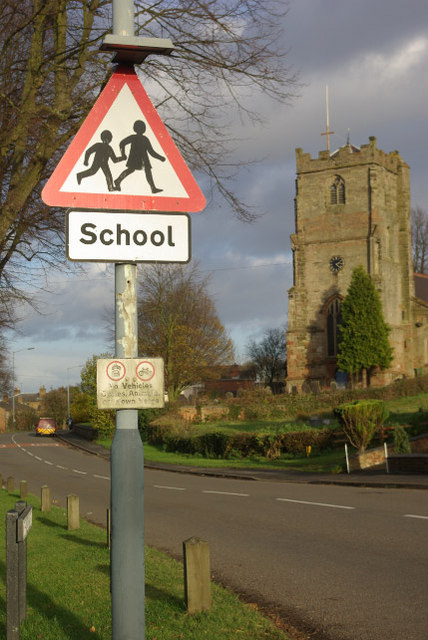
Image: © Stephen McKay Taken: 2 Dec 2007
The church, dedicated to St John the Baptist, stands alongside the main road through the village, here called The Crescent. The road was formerly the A427, but has now been downgraded to the B4027. This is also, in effect, part of the Fosse Way although the original course of the Roman road ran slightly to the east of here and has now been obliterated.
Images are licensed for reuse under creativecommons.org/licenses/by-sa/2.0
Image Location
Latitude
52.412849
Longitude
-1.36028