Lane near Garn Fawr
Introduction
The photograph on this page of Lane near Garn Fawr by Jeremy Bolwell as part of the Geograph project.
The Geograph project started in 2005 with the aim of publishing, organising and preserving representative images for every square kilometre of Great Britain, Ireland and the Isle of Man.

There are currently over 7.5m images from over 14,400 individuals and you can help contribute to the project by visiting https://www.geograph.org.uk
Lane near Garn Fawr
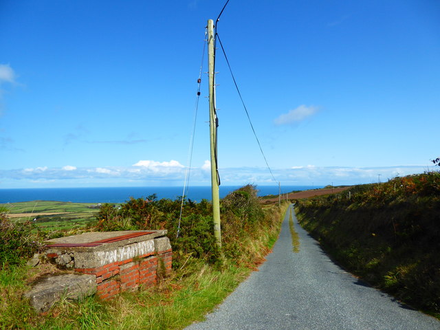
Image: © Jeremy Bolwell Taken: 31 Aug 2019
An old milk churn stand remains here on the drive to Tan-y-Mynydd farm.
Images are licensed for reuse under creativecommons.org/licenses/by-sa/2.0
Image Location
Latitude
52.010558
Longitude
-5.062384