Bottom of Tyne Road, South Stanley
Introduction
The photograph on this page of Bottom of Tyne Road, South Stanley by Robert Graham as part of the Geograph project.
The Geograph project started in 2005 with the aim of publishing, organising and preserving representative images for every square kilometre of Great Britain, Ireland and the Isle of Man.

There are currently over 7.5m images from over 14,400 individuals and you can help contribute to the project by visiting https://www.geograph.org.uk
Bottom of Tyne Road, South Stanley
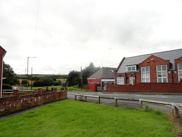
Image: © Robert Graham Taken: 12 Aug 2019
This is the southern end of this road which runs down from Stanley town centre. The road joins Hustledown Road here on the left. The school is St Mary's R C Primary.
Images are licensed for reuse under creativecommons.org/licenses/by-sa/2.0
Image Location
Latitude
54.859615
Longitude
-1.694798