The burn in South Stanley Wood
Introduction
The photograph on this page of The burn in South Stanley Wood by Robert Graham as part of the Geograph project.
The Geograph project started in 2005 with the aim of publishing, organising and preserving representative images for every square kilometre of Great Britain, Ireland and the Isle of Man.

There are currently over 7.5m images from over 14,400 individuals and you can help contribute to the project by visiting https://www.geograph.org.uk
The burn in South Stanley Wood
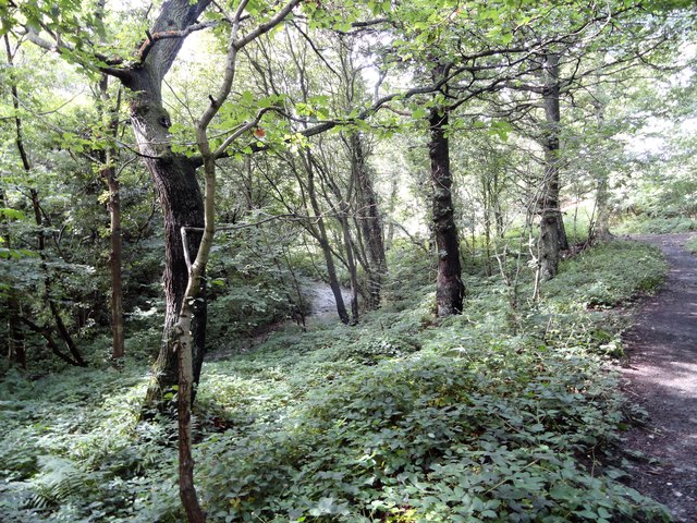
Image: © Robert Graham Taken: 12 Aug 2019
The wood is a strip of secondary woodland along the banks of the burn. This is known as the Stanley Burn, and becomes the Twizell Burn further on when it reaches Craghead.
Images are licensed for reuse under creativecommons.org/licenses/by-sa/2.0
Image Location
Latitude
54.86095
Longitude
-1.689491