Looking down on Deri
Introduction
The photograph on this page of Looking down on Deri by Graham Horn as part of the Geograph project.
The Geograph project started in 2005 with the aim of publishing, organising and preserving representative images for every square kilometre of Great Britain, Ireland and the Isle of Man.

There are currently over 7.5m images from over 14,400 individuals and you can help contribute to the project by visiting https://www.geograph.org.uk
Looking down on Deri
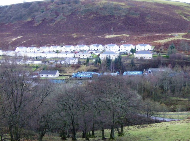
Image: © Graham Horn Taken: 1 Dec 2007
This is from a footpath halfway up to the ridge, looking across the Darren valley over the northern part of Deri. The houses probably post date the closure of the mine in 1975.
Images are licensed for reuse under creativecommons.org/licenses/by-sa/2.0
Image Location
Latitude
51.715801
Longitude
-3.269545