Park Hills Road
Introduction
The photograph on this page of Park Hills Road by Gerald England as part of the Geograph project.
The Geograph project started in 2005 with the aim of publishing, organising and preserving representative images for every square kilometre of Great Britain, Ireland and the Isle of Man.

There are currently over 7.5m images from over 14,400 individuals and you can help contribute to the project by visiting https://www.geograph.org.uk
Park Hills Road
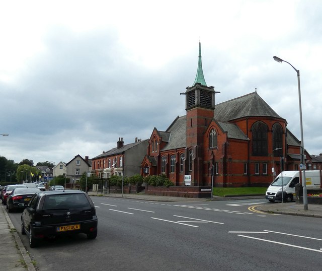
Image: © Gerald England Taken: 30 Aug 2019
The church on the right was Parkhills United Free Methodist Church which opened in 1883 and closed in 1966. It later became Bethesda Pentecostal Church. Now it is the Metro Christian Centre https://www.mccbury.org.uk/ which also runs Little Acorns Preschool http://www.littleacornspreschool.org.uk/
Images are licensed for reuse under creativecommons.org/licenses/by-sa/2.0
Image Location
Latitude
53.58397
Longitude
-2.296624