Stream at edge of Wellfield Copse
Introduction
The photograph on this page of Stream at edge of Wellfield Copse by Robin Webster as part of the Geograph project.
The Geograph project started in 2005 with the aim of publishing, organising and preserving representative images for every square kilometre of Great Britain, Ireland and the Isle of Man.

There are currently over 7.5m images from over 14,400 individuals and you can help contribute to the project by visiting https://www.geograph.org.uk
Stream at edge of Wellfield Copse
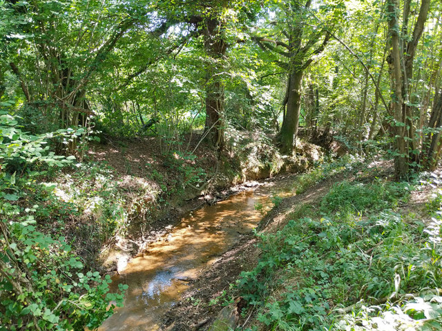
Image: © Robin Webster Taken: 26 Aug 2019
Looking upstream at either the Copthorne Brook or the Burstow Stream, depending where the name changes. It is a tributary of the River Mole.
Images are licensed for reuse under creativecommons.org/licenses/by-sa/2.0
Image Location
Latitude
51.13999
Longitude
-0.13568