Broughton direction and distance sign in Wick, Vale of Glamorgan
Introduction
The photograph on this page of Broughton direction and distance sign in Wick, Vale of Glamorgan by Jaggery as part of the Geograph project.
The Geograph project started in 2005 with the aim of publishing, organising and preserving representative images for every square kilometre of Great Britain, Ireland and the Isle of Man.

There are currently over 7.5m images from over 14,400 individuals and you can help contribute to the project by visiting https://www.geograph.org.uk
Broughton direction and distance sign in Wick, Vale of Glamorgan
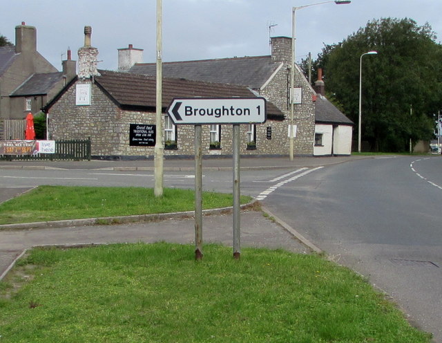
Image: © Jaggery Taken: 30 Aug 2019
Alongside the B4265 Llantwit Road one mile from Broughton. Turn left into Church Street which leads to Broughton Road. The Lamb & Flag https://www.geograph.org.uk/photo/6250680 pub and restaurant is in the background.
Images are licensed for reuse under creativecommons.org/licenses/by-sa/2.0
Image Location
Latitude
51.438109
Longitude
-3.548287