The Shady Oak
Introduction
The photograph on this page of The Shady Oak by Jeff Buck as part of the Geograph project.
The Geograph project started in 2005 with the aim of publishing, organising and preserving representative images for every square kilometre of Great Britain, Ireland and the Isle of Man.

There are currently over 7.5m images from over 14,400 individuals and you can help contribute to the project by visiting https://www.geograph.org.uk
The Shady Oak
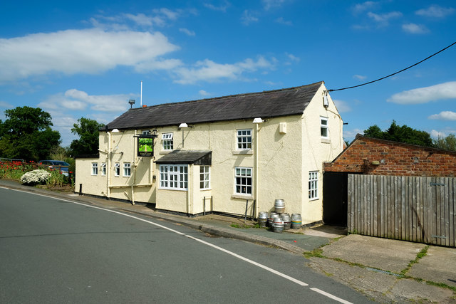
Image: © Jeff Buck Taken: 5 Jul 2019
The Shady Oak on Bate's Mill Lane next to Bate's Mill Bridge has a prime location on the Shropshire Union Canal. It also has a campsite.
Images are licensed for reuse under creativecommons.org/licenses/by-sa/2.0
Image Location
Latitude
53.13752
Longitude
-2.700424