St Luke's Church Poulton
Introduction
The photograph on this page of St Luke's Church Poulton by Sue Adair as part of the Geograph project.
The Geograph project started in 2005 with the aim of publishing, organising and preserving representative images for every square kilometre of Great Britain, Ireland and the Isle of Man.

There are currently over 7.5m images from over 14,400 individuals and you can help contribute to the project by visiting https://www.geograph.org.uk
St Luke's Church Poulton
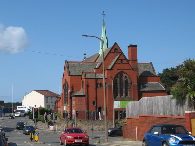
Image: © Sue Adair Taken: 17 Aug 2019
St Luke's was built at the junction of Mill Lane and Breck Lane in 1907 as the district church for the townships of Poulton cum Seacombe and Wallasey. In 1941, during an air raid, the church was hit by a bomb causing damage to the steeple and roof.
Images are licensed for reuse under creativecommons.org/licenses/by-sa/2.0
Image Location
Latitude
53.412246
Longitude
-3.052311