Recreation Street, Mansfield
Introduction
The photograph on this page of Recreation Street, Mansfield by Alan Murray-Rust as part of the Geograph project.
The Geograph project started in 2005 with the aim of publishing, organising and preserving representative images for every square kilometre of Great Britain, Ireland and the Isle of Man.

There are currently over 7.5m images from over 14,400 individuals and you can help contribute to the project by visiting https://www.geograph.org.uk
Recreation Street, Mansfield
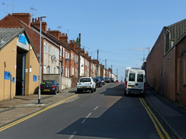
Image: © Alan Murray-Rust Taken: 21 Aug 2019
Early 20th century terraced housing development from the industrial expansion of the town.
Images are licensed for reuse under creativecommons.org/licenses/by-sa/2.0
Image Location
Latitude
53.144829
Longitude
-1.190086