Titchfield Park, Mansfield
Introduction
The photograph on this page of Titchfield Park, Mansfield by Alan Murray-Rust as part of the Geograph project.
The Geograph project started in 2005 with the aim of publishing, organising and preserving representative images for every square kilometre of Great Britain, Ireland and the Isle of Man.

There are currently over 7.5m images from over 14,400 individuals and you can help contribute to the project by visiting https://www.geograph.org.uk
Titchfield Park, Mansfield
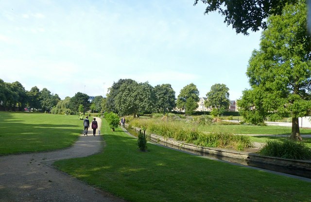
Image: © Alan Murray-Rust Taken: 21 Aug 2019
The River Maun has been canalised through the park. The modern 'Water Meadows' leisure complex indicates what the area would have been before urbanisation.
Images are licensed for reuse under creativecommons.org/licenses/by-sa/2.0
Image Location
Latitude
53.138662
Longitude
-1.195284