Saint Hill Green
Introduction
The photograph on this page of Saint Hill Green by Simon Carey as part of the Geograph project.
The Geograph project started in 2005 with the aim of publishing, organising and preserving representative images for every square kilometre of Great Britain, Ireland and the Isle of Man.

There are currently over 7.5m images from over 14,400 individuals and you can help contribute to the project by visiting https://www.geograph.org.uk
Saint Hill Green
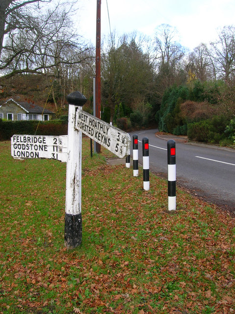
Image: © Simon Carey Taken: 1 Dec 2007
The name of the road until it reaches the bend then it becomes West Hoathly Road the southern route out of East Grinstead now a minor road.
Images are licensed for reuse under creativecommons.org/licenses/by-sa/2.0
Image Location
Latitude
51.105685
Longitude
-0.023638