Slate drystone wall, west of Glandwr
Introduction
The photograph on this page of Slate drystone wall, west of Glandwr by Christine Johnstone as part of the Geograph project.
The Geograph project started in 2005 with the aim of publishing, organising and preserving representative images for every square kilometre of Great Britain, Ireland and the Isle of Man.

There are currently over 7.5m images from over 14,400 individuals and you can help contribute to the project by visiting https://www.geograph.org.uk
Slate drystone wall, west of Glandwr
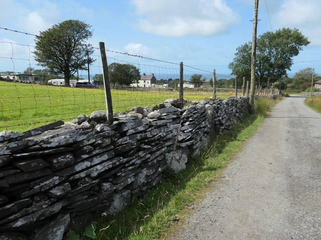
Image: © Christine Johnstone Taken: 19 Aug 2019
A good example of how slate splits into long thin blocks - hence its use for roofs.
Images are licensed for reuse under creativecommons.org/licenses/by-sa/2.0
Image Location
Latitude
53.079402
Longitude
-4.239435