Canal north of Bonehill in Staffordshire
Introduction
The photograph on this page of Canal north of Bonehill in Staffordshire by Roger Kidd as part of the Geograph project.
The Geograph project started in 2005 with the aim of publishing, organising and preserving representative images for every square kilometre of Great Britain, Ireland and the Isle of Man.

There are currently over 7.5m images from over 14,400 individuals and you can help contribute to the project by visiting https://www.geograph.org.uk
Canal north of Bonehill in Staffordshire
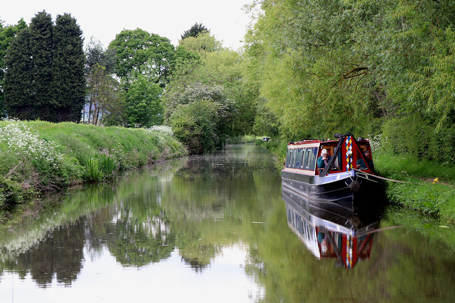
Image: © Roger Kidd Taken: 20 May 2019
Looking north-west towards Hopwas and Whittington. There are some very large distribution warehouses behind the trees on the right.
Images are licensed for reuse under creativecommons.org/licenses/by-sa/2.0
Image Location
Latitude
52.627213
Longitude
-1.717636