24 High Street
Introduction
The photograph on this page of 24 High Street by Ian Capper as part of the Geograph project.
The Geograph project started in 2005 with the aim of publishing, organising and preserving representative images for every square kilometre of Great Britain, Ireland and the Isle of Man.

There are currently over 7.5m images from over 14,400 individuals and you can help contribute to the project by visiting https://www.geograph.org.uk
24 High Street
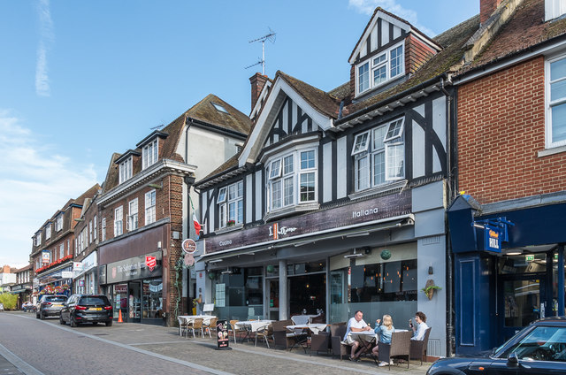
Image: © Ian Capper Taken: 31 Jul 2019
Italian restaurant in what until the 1960s was the King's Head pub, itself a replacement of the original King's Head pub, now replaced by 26 High Street, the next building along, situated on the other side of King's Head Alley.
Images are licensed for reuse under creativecommons.org/licenses/by-sa/2.0
Image Location
Latitude
51.295324
Longitude
-0.327965