Where Cromwell Road becomes Sedgwick Street
Introduction
The photograph on this page of Where Cromwell Road becomes Sedgwick Street by John Sutton as part of the Geograph project.
The Geograph project started in 2005 with the aim of publishing, organising and preserving representative images for every square kilometre of Great Britain, Ireland and the Isle of Man.

There are currently over 7.5m images from over 14,400 individuals and you can help contribute to the project by visiting https://www.geograph.org.uk
Where Cromwell Road becomes Sedgwick Street
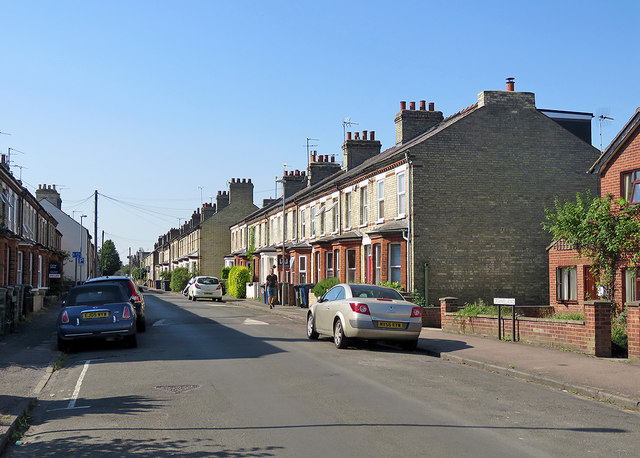
Image: © John Sutton Taken: 26 Aug 2019
The Romsey district is largely Victorian, built in the years after the railway reached Cambridge.
Images are licensed for reuse under creativecommons.org/licenses/by-sa/2.0
Image Location
Latitude
52.200876
Longitude
0.146198