Cheriton Avenue, Cefn Hengoed
Introduction
The photograph on this page of Cheriton Avenue, Cefn Hengoed by Jaggery as part of the Geograph project.
The Geograph project started in 2005 with the aim of publishing, organising and preserving representative images for every square kilometre of Great Britain, Ireland and the Isle of Man.

There are currently over 7.5m images from over 14,400 individuals and you can help contribute to the project by visiting https://www.geograph.org.uk
Cheriton Avenue, Cefn Hengoed
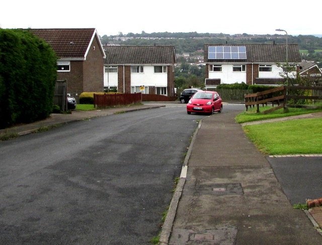
Image: © Jaggery Taken: 22 Aug 2019
This part of Cheriton Avenue is between Penmaen Close and the Rhosili Road junction ahead on the left.
Images are licensed for reuse under creativecommons.org/licenses/by-sa/2.0
Image Location
Latitude
51.659251
Longitude
-3.235146