Percy Arms
Introduction
The photograph on this page of Percy Arms by Colin Smith as part of the Geograph project.
The Geograph project started in 2005 with the aim of publishing, organising and preserving representative images for every square kilometre of Great Britain, Ireland and the Isle of Man.

There are currently over 7.5m images from over 14,400 individuals and you can help contribute to the project by visiting https://www.geograph.org.uk
Percy Arms
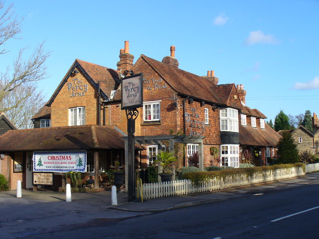
Image: © Colin Smith Taken: 1 Dec 2007
Popular pub on Dorking Road, Chilworth with a South African menu and also with views from the rear towards St Martha's Hill.
Images are licensed for reuse under creativecommons.org/licenses/by-sa/2.0
Image Location


Leaflet Map data © OpenStreetMap
Latitude
51.215255
Longitude
-0.526111