Gammons Way, Sedlescombe
Introduction
The photograph on this page of Gammons Way, Sedlescombe by Simon Carey as part of the Geograph project.
The Geograph project started in 2005 with the aim of publishing, organising and preserving representative images for every square kilometre of Great Britain, Ireland and the Isle of Man.

There are currently over 7.5m images from over 14,400 individuals and you can help contribute to the project by visiting https://www.geograph.org.uk
Gammons Way, Sedlescombe
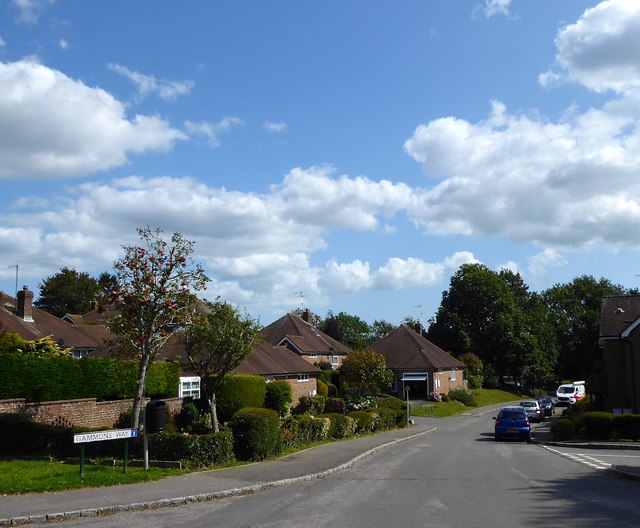
Image: © Simon Carey Taken: 20 Aug 2019
Cul de sac heading south from Brede Lane. I wonder what the percentage of leave voters were in this street.
Images are licensed for reuse under creativecommons.org/licenses/by-sa/2.0
Image Location


Leaflet Map data © OpenStreetMap
Latitude
50.934435
Longitude
0.535708