Derelict farmhouse south of the Duburren Road
Introduction
The photograph on this page of Derelict farmhouse south of the Duburren Road by Eric Jones as part of the Geograph project.
The Geograph project started in 2005 with the aim of publishing, organising and preserving representative images for every square kilometre of Great Britain, Ireland and the Isle of Man.

There are currently over 7.5m images from over 14,400 individuals and you can help contribute to the project by visiting https://www.geograph.org.uk
Derelict farmhouse south of the Duburren Road
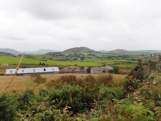
Image: © Eric Jones Taken: 20 Aug 2019
The hills in the middle ground are part of the northern quadrant of the Ring of Gullion. While their steep eastern facing slopes are uncultivated, their gentler western slopes, with the exception of the rocky summits have been reclaimed and support good crops of cultivated grass for the areas dairy economy.
Images are licensed for reuse under creativecommons.org/licenses/by-sa/2.0
Image Location
Latitude
54.1646
Longitude
-6.471885