Hedge and houses, Hengoed Road, Penpedairheol
Introduction
The photograph on this page of Hedge and houses, Hengoed Road, Penpedairheol by Jaggery as part of the Geograph project.
The Geograph project started in 2005 with the aim of publishing, organising and preserving representative images for every square kilometre of Great Britain, Ireland and the Isle of Man.

There are currently over 7.5m images from over 14,400 individuals and you can help contribute to the project by visiting https://www.geograph.org.uk
Hedge and houses, Hengoed Road, Penpedairheol
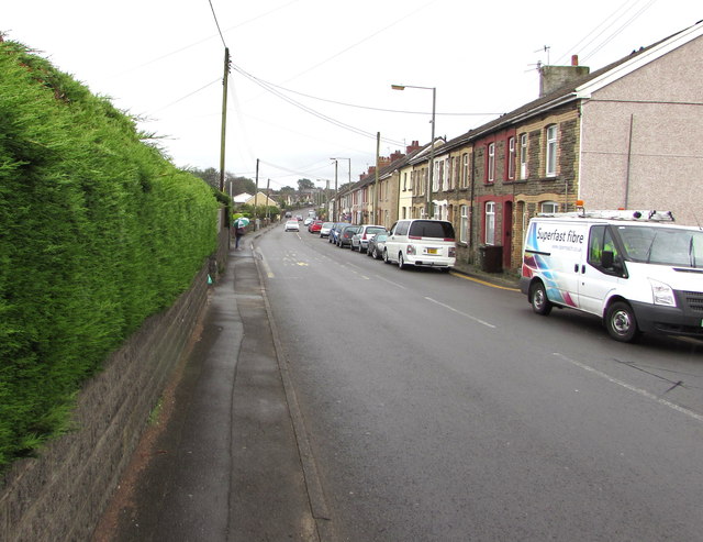
Image: © Jaggery Taken: 22 Aug 2019
Looking to the SSE away from B4254 Pengam Road and the Plough & Harrow pub. https://www.geograph.org.uk/photo/6244470
Images are licensed for reuse under creativecommons.org/licenses/by-sa/2.0
Image Location
Latitude
51.669158
Longitude
-3.242067