Uckham Lane Gardens Caravan Site
Introduction
The photograph on this page of Uckham Lane Gardens Caravan Site by Simon Carey as part of the Geograph project.
The Geograph project started in 2005 with the aim of publishing, organising and preserving representative images for every square kilometre of Great Britain, Ireland and the Isle of Man.

There are currently over 7.5m images from over 14,400 individuals and you can help contribute to the project by visiting https://www.geograph.org.uk
Uckham Lane Gardens Caravan Site
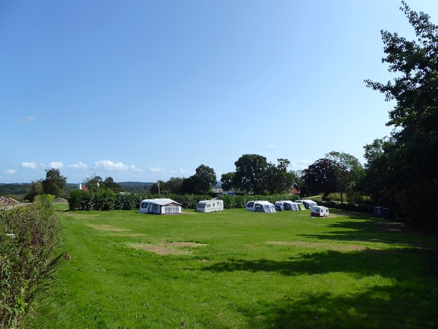
Image: © Simon Carey Taken: 20 Aug 2019
Located in two small fields to the south of Image and east of Image The fields were formerly the eastern portion of Russell's Meadow according to Battle's 1859 tithe map. Located about half a mile from Battle town centre.
Images are licensed for reuse under creativecommons.org/licenses/by-sa/2.0
Image Location
Latitude
50.923234
Longitude
0.491982