Calmor View, Lislea
Introduction
The photograph on this page of Calmor View, Lislea by Eric Jones as part of the Geograph project.
The Geograph project started in 2005 with the aim of publishing, organising and preserving representative images for every square kilometre of Great Britain, Ireland and the Isle of Man.

There are currently over 7.5m images from over 14,400 individuals and you can help contribute to the project by visiting https://www.geograph.org.uk
Calmor View, Lislea
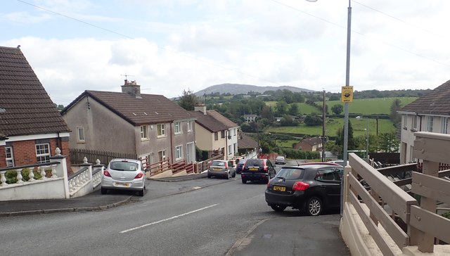
Image: © Eric Jones Taken: 20 Aug 2019
The Calmor area lies between the B134 (Mountain Road) and the B30 (Newry Road) some distance uphill from the lower village arranged around the chapel. Camlough Mountain features in the background.
Images are licensed for reuse under creativecommons.org/licenses/by-sa/2.0
Image Location
Latitude
54.160006
Longitude
-6.456898