The Hungry Hut
Introduction
The photograph on this page of The Hungry Hut by Robert Graham as part of the Geograph project.
The Geograph project started in 2005 with the aim of publishing, organising and preserving representative images for every square kilometre of Great Britain, Ireland and the Isle of Man.

There are currently over 7.5m images from over 14,400 individuals and you can help contribute to the project by visiting https://www.geograph.org.uk
The Hungry Hut
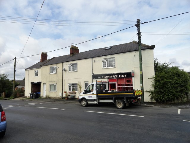
Image: © Robert Graham Taken: 12 Aug 2019
A roadside sandwich shop in the old mining village of Pelton Lane Ends.
Images are licensed for reuse under creativecommons.org/licenses/by-sa/2.0
Image Location
Latitude
54.86562
Longitude
-1.624797