The North Downs Way (narrow path to right of sign) leaving Pineham
Introduction
The photograph on this page of The North Downs Way (narrow path to right of sign) leaving Pineham by Tim Heaton as part of the Geograph project.
The Geograph project started in 2005 with the aim of publishing, organising and preserving representative images for every square kilometre of Great Britain, Ireland and the Isle of Man.

There are currently over 7.5m images from over 14,400 individuals and you can help contribute to the project by visiting https://www.geograph.org.uk
The North Downs Way (narrow path to right of sign) leaving Pineham
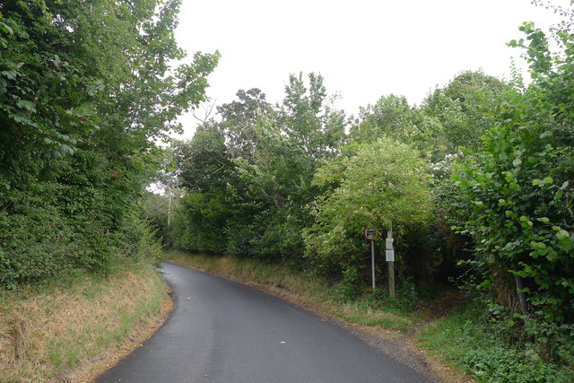
Image: © Tim Heaton Taken: 9 Aug 2019
The path follows the line of a Roman road. Although marked on the OS map as a 'Byway open to all traffic', the council notice states that motor vehicles (excluding quadricycles and motorcycles) are prohibited on the path.
Images are licensed for reuse under creativecommons.org/licenses/by-sa/2.0
Image Location
Latitude
51.163738
Longitude
1.310732