Interpretative information for tourists in Abersoch
Introduction
The photograph on this page of Interpretative information for tourists in Abersoch by Jeremy Bolwell as part of the Geograph project.
The Geograph project started in 2005 with the aim of publishing, organising and preserving representative images for every square kilometre of Great Britain, Ireland and the Isle of Man.

There are currently over 7.5m images from over 14,400 individuals and you can help contribute to the project by visiting https://www.geograph.org.uk
Interpretative information for tourists in Abersoch
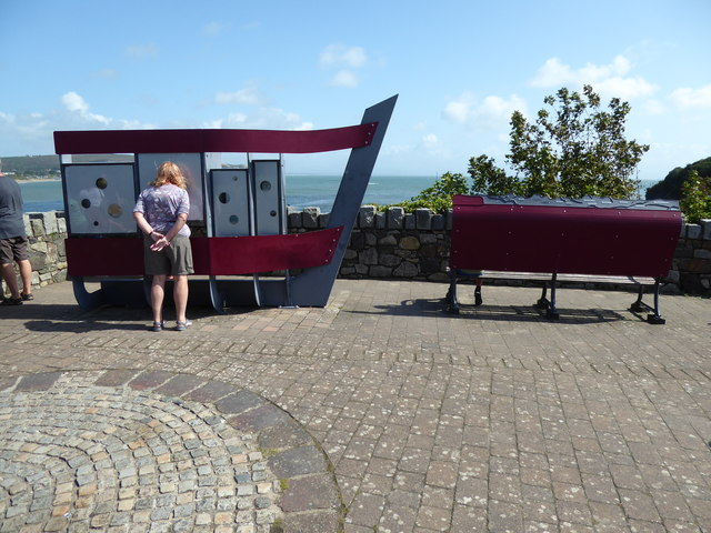
Image: © Jeremy Bolwell Taken: 17 Aug 2019
A great way to present information. I've not seen an information board this clever anywhere so far.
Images are licensed for reuse under creativecommons.org/licenses/by-sa/2.0
Image Location
Latitude
52.826065
Longitude
-4.503224