Nant Lane, Selattyn
Introduction
The photograph on this page of Nant Lane, Selattyn by Humphrey Bolton as part of the Geograph project.
The Geograph project started in 2005 with the aim of publishing, organising and preserving representative images for every square kilometre of Great Britain, Ireland and the Isle of Man.

There are currently over 7.5m images from over 14,400 individuals and you can help contribute to the project by visiting https://www.geograph.org.uk
Nant Lane, Selattyn
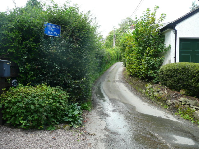
Image: © Humphrey Bolton Taken: 17 Aug 2019
The sign is an understatement. This is a very narrow lane with a poor surface. After crossing a valley you come to a junction where you need to turn right, but it is so acute and tight that you can't if driving a car (although it might be possible in a small four-wheel drive car). You have to turn left and turn round at The Dingle.
Images are licensed for reuse under creativecommons.org/licenses/by-sa/2.0
Image Location
Latitude
52.899242
Longitude
-3.090085