Lendrick: the Forder Lane frontage, Bishopsteignton
Introduction
The photograph on this page of Lendrick: the Forder Lane frontage, Bishopsteignton by Robin Stott as part of the Geograph project.
The Geograph project started in 2005 with the aim of publishing, organising and preserving representative images for every square kilometre of Great Britain, Ireland and the Isle of Man.

There are currently over 7.5m images from over 14,400 individuals and you can help contribute to the project by visiting https://www.geograph.org.uk
Lendrick: the Forder Lane frontage, Bishopsteignton
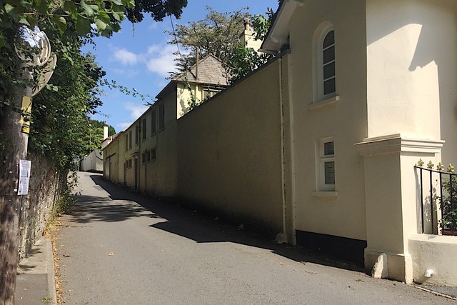
Image: © Robin Stott Taken: 20 Jul 2019
Lendrick is one of the large houses along Forder Lane. Residents looked out over extensive gardens on the south-facing hillside down to the Teign estuary. The name Lendrick appears on maps from 1964. In 1889 it was Long Marsden. The Bishopsteignton village website https://contact94599.wixsite.com/mysite/history recounts that as a young architect John Nash worked in Devon; between 1800 and 1804 he was based in Dawlish. Lendrick is thought to be either designed by Nash or built in Nash style. However, Historic England's grade II listing makes no mention of Nash https://historicengland.org.uk/listing/the-list/list-entry/1147579
Images are licensed for reuse under creativecommons.org/licenses/by-sa/2.0
Image Location
Latitude
50.553332
Longitude
-3.545508