Tame Valley
Introduction
The photograph on this page of Tame Valley by Stephen Burton as part of the Geograph project.
The Geograph project started in 2005 with the aim of publishing, organising and preserving representative images for every square kilometre of Great Britain, Ireland and the Isle of Man.

There are currently over 7.5m images from over 14,400 individuals and you can help contribute to the project by visiting https://www.geograph.org.uk
Tame Valley
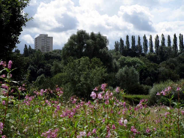
Image: © Stephen Burton Taken: 13 Aug 2019
Looking across the Tame Valley towards Brinnington, one of three tower blocks is visible on the horizon.
Images are licensed for reuse under creativecommons.org/licenses/by-sa/2.0
Image Location
Latitude
53.436494
Longitude
-2.133478