Court Farm House - Damerham
Introduction
The photograph on this page of Court Farm House - Damerham by Mike Searle as part of the Geograph project.
The Geograph project started in 2005 with the aim of publishing, organising and preserving representative images for every square kilometre of Great Britain, Ireland and the Isle of Man.

There are currently over 7.5m images from over 14,400 individuals and you can help contribute to the project by visiting https://www.geograph.org.uk
Court Farm House - Damerham
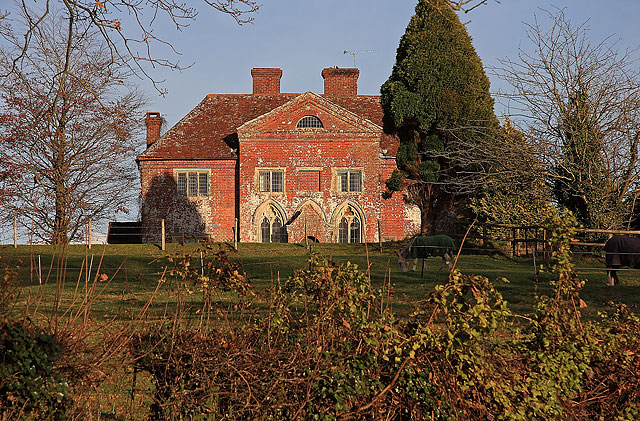
Image: © Mike Searle Taken: 29 Nov 2007
This is a manor house built circa 1700, incorporating C15 trefoiled windows which probably originated from a church. The house is supposed to have been built around a C14 Manor Court - hence the name. Grade II* Listed.
Images are licensed for reuse under creativecommons.org/licenses/by-sa/2.0
Image Location
Latitude
50.943428
Longitude
-1.845516