Recreation Ground, Broad Oak
Introduction
The photograph on this page of Recreation Ground, Broad Oak by Simon Carey as part of the Geograph project.
The Geograph project started in 2005 with the aim of publishing, organising and preserving representative images for every square kilometre of Great Britain, Ireland and the Isle of Man.

There are currently over 7.5m images from over 14,400 individuals and you can help contribute to the project by visiting https://www.geograph.org.uk
Recreation Ground, Broad Oak
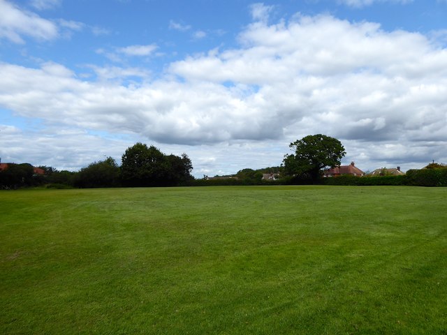
Image: © Simon Carey Taken: 15 Aug 2019
Originally a field called Oasthouse Meadow according to Brede's 1840 tithe map that was given over for recreation purposes after World War Two.
Images are licensed for reuse under creativecommons.org/licenses/by-sa/2.0
Image Location
Latitude
50.94955
Longitude
0.600888