North end of Footpath No.19, Bishopsteignton
Introduction
The photograph on this page of North end of Footpath No.19, Bishopsteignton by Robin Stott as part of the Geograph project.
The Geograph project started in 2005 with the aim of publishing, organising and preserving representative images for every square kilometre of Great Britain, Ireland and the Isle of Man.

There are currently over 7.5m images from over 14,400 individuals and you can help contribute to the project by visiting https://www.geograph.org.uk
North end of Footpath No.19, Bishopsteignton
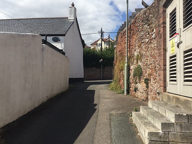
Image: © Robin Stott Taken: 20 Jul 2019
The view is the reverse of Image Ahead is Forder Lane. On the right is the substation 'Huntley 34-0391' operated by Western Power Distribution. Huntley, more recently Huntly, is the large property on the other side of the wall.
Images are licensed for reuse under creativecommons.org/licenses/by-sa/2.0
Image Location
Latitude
50.553038
Longitude
-3.547334