SE along Green Drove near Pewsey
Introduction
The photograph on this page of SE along Green Drove near Pewsey by Jaggery as part of the Geograph project.
The Geograph project started in 2005 with the aim of publishing, organising and preserving representative images for every square kilometre of Great Britain, Ireland and the Isle of Man.

There are currently over 7.5m images from over 14,400 individuals and you can help contribute to the project by visiting https://www.geograph.org.uk
SE along Green Drove near Pewsey
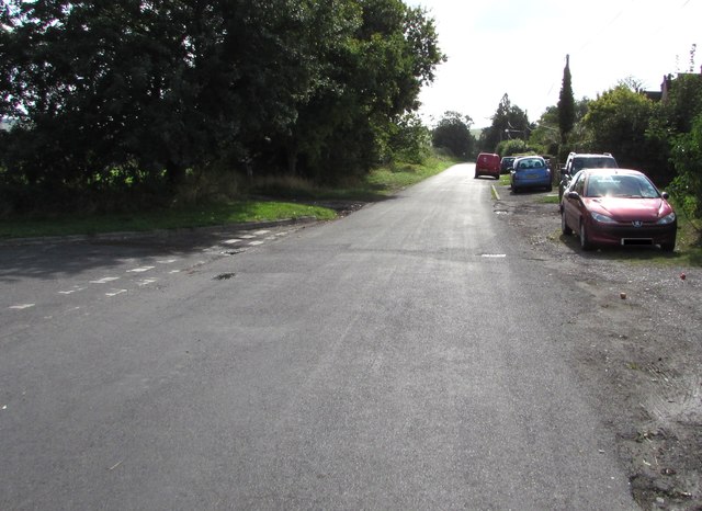
Image: © Jaggery Taken: 15 Sep 2018
Out of shot ahead, Green Drove leads to Southcott Road and Ball Road, a circuitous route to the eastern end of High Street Pewsey. The Swan Meadow junction https://www.geograph.org.uk/photo/6237184 is on the left.
Images are licensed for reuse under creativecommons.org/licenses/by-sa/2.0
Image Location
Latitude
51.33346
Longitude
-1.765695