Church Street, Barnoldswick
Introduction
The photograph on this page of Church Street, Barnoldswick by Dr Neil Clifton as part of the Geograph project.
The Geograph project started in 2005 with the aim of publishing, organising and preserving representative images for every square kilometre of Great Britain, Ireland and the Isle of Man.

There are currently over 7.5m images from over 14,400 individuals and you can help contribute to the project by visiting https://www.geograph.org.uk
Church Street, Barnoldswick
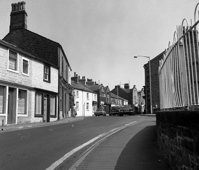
Image: © Dr Neil Clifton Taken: 3 Aug 1982
Looking north-east along the street, the railings on the right belong to the small car park in front of the 'Cross Keys' pub. In the distance with a pseudo-Dutch gable, is another pub, the 'Barlick'. [Note for strangers to Barnoldswick: natives of the town as commonly referred to as 'Barlickers': others as 'Comed off uns'.]
Images are licensed for reuse under creativecommons.org/licenses/by-sa/2.0
Image Location
Latitude
53.916297
Longitude
-2.188597