Barnsbury Estate
Introduction
The photograph on this page of Barnsbury Estate by Stephen McKay as part of the Geograph project.
The Geograph project started in 2005 with the aim of publishing, organising and preserving representative images for every square kilometre of Great Britain, Ireland and the Isle of Man.

There are currently over 7.5m images from over 14,400 individuals and you can help contribute to the project by visiting https://www.geograph.org.uk
Barnsbury Estate
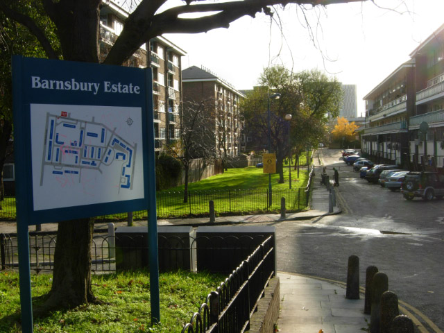
Image: © Stephen McKay Taken: 29 Nov 2007
Work on the Barnsbury Estate, to the east of Caledonian Road, was begun in 1936 by the London County Council, and completed in the 1950s. It comprises 646 housing units in 25 blocks.
Images are licensed for reuse under creativecommons.org/licenses/by-sa/2.0
Image Location
Latitude
51.536882
Longitude
-0.115758