Achnagarron Standing Stones
Introduction
The photograph on this page of Achnagarron Standing Stones by valenta as part of the Geograph project.
The Geograph project started in 2005 with the aim of publishing, organising and preserving representative images for every square kilometre of Great Britain, Ireland and the Isle of Man.

There are currently over 7.5m images from over 14,400 individuals and you can help contribute to the project by visiting https://www.geograph.org.uk
Achnagarron Standing Stones
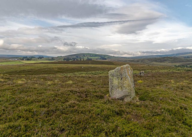
Image: © valenta Taken: 4 Aug 2019
Several standing stones, that may once have formed a stone circle, looking towards the hill Cnoc Ard an Tionail https://canmore.org.uk/site/5972/achnagarron
Images are licensed for reuse under creativecommons.org/licenses/by-sa/2.0
Image Location


Leaflet Map data © OpenStreetMap
Latitude
58.015861
Longitude
-4.146615