Old Heazille
Introduction
The photograph on this page of Old Heazille by Derek Harper as part of the Geograph project.
The Geograph project started in 2005 with the aim of publishing, organising and preserving representative images for every square kilometre of Great Britain, Ireland and the Isle of Man.

There are currently over 7.5m images from over 14,400 individuals and you can help contribute to the project by visiting https://www.geograph.org.uk
Old Heazille
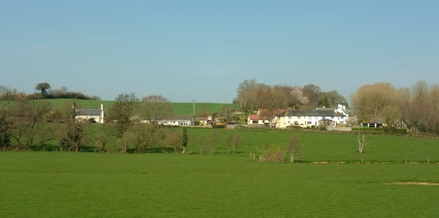
Image: © Derek Harper Taken: 1 Apr 2019
Something of a tiny hamlet, with several properties in converted buildings at the farm (also shown in http://www.geograph.org.uk/search.php?i=99742934 ) and two houses to the left, one of them also shown in Image In the foreground, the River Culm meanders.
Images are licensed for reuse under creativecommons.org/licenses/by-sa/2.0
Image Location
Latitude
50.795548
Longitude
-3.481261