National Cycle Network direction signs, Church Street, Tredegar
Introduction
The photograph on this page of National Cycle Network direction signs, Church Street, Tredegar by Jaggery as part of the Geograph project.
The Geograph project started in 2005 with the aim of publishing, organising and preserving representative images for every square kilometre of Great Britain, Ireland and the Isle of Man.

There are currently over 7.5m images from over 14,400 individuals and you can help contribute to the project by visiting https://www.geograph.org.uk
National Cycle Network direction signs, Church Street, Tredegar
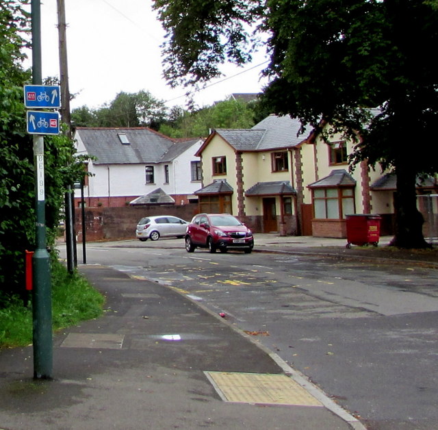
Image: © Jaggery Taken: 7 Aug 2019
Small blue, white and red signs on a lamppost show the way to National Cycle Network routes 411 and 467.
Images are licensed for reuse under creativecommons.org/licenses/by-sa/2.0
Image Location
Latitude
51.78062
Longitude
-3.245271