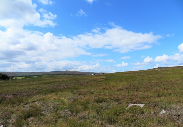
Where's the path?
Introduction
The photograph on this page of Where's the path? by Gordon Hatton as part of the Geograph project.
The Geograph project started in 2005 with the aim of publishing, organising and preserving representative images for every square kilometre of Great Britain, Ireland and the Isle of Man.
There are currently over 7.5m images from over 14,400 individuals and you can help contribute to the project by visiting https://www.geograph.org.uk

Image: © Gordon Hatton Taken: 8 Aug 2019
Only the brave or foolish [that's Chris Heaton and myself] would attempt the short stretch of moorland path between High House and Deerings Heights. The line on the map would appear to be a figment of the cartographer's imagination as there is no line on the ground, but plenty of deep heather, sedge, rushes and occasional bogs. The view is west using a wide angle lens and with High House farm just visible near the centre of the shot.

