Old Kiln Laine
Introduction
The photograph on this page of Old Kiln Laine by Simon Carey as part of the Geograph project.
The Geograph project started in 2005 with the aim of publishing, organising and preserving representative images for every square kilometre of Great Britain, Ireland and the Isle of Man.

There are currently over 7.5m images from over 14,400 individuals and you can help contribute to the project by visiting https://www.geograph.org.uk
Old Kiln Laine
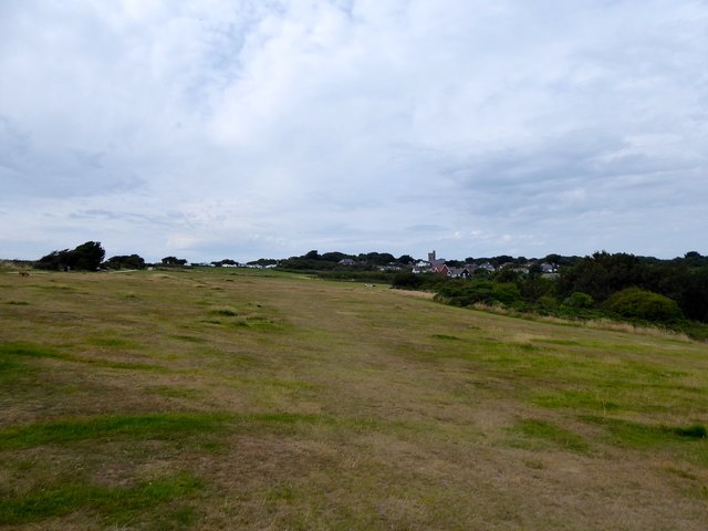
Image: © Simon Carey Taken: 4 Aug 2019
The name of the field according to Fairlight's 1839 tithe map that is now part of Hastings Country Park. The village of Fairlight can be seen in the distance.
Images are licensed for reuse under creativecommons.org/licenses/by-sa/2.0
Image Location
Latitude
50.873476
Longitude
0.644128