St George's Court map, Tredegar
Introduction
The photograph on this page of St George's Court map, Tredegar by Jaggery as part of the Geograph project.
The Geograph project started in 2005 with the aim of publishing, organising and preserving representative images for every square kilometre of Great Britain, Ireland and the Isle of Man.

There are currently over 7.5m images from over 14,400 individuals and you can help contribute to the project by visiting https://www.geograph.org.uk
St George's Court map, Tredegar
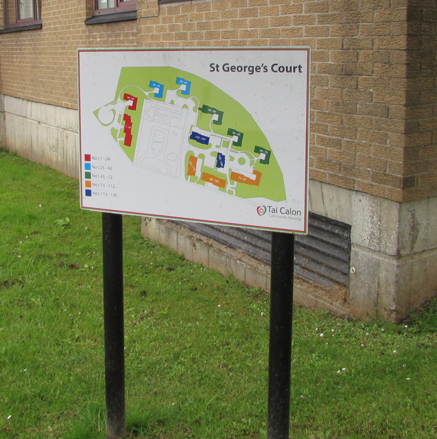
Image: © Jaggery Taken: 7 Aug 2019
Facing Church Street, the Tai Calon Community Housing map shows the location of the 130 flats in St George's Court. https://www.geograph.org.uk/photo/6231852 https://www.geograph.org.uk/photo/6231855
Images are licensed for reuse under creativecommons.org/licenses/by-sa/2.0
Image Location
Latitude
51.777202
Longitude
-3.245467