Cliff Way, Fairlight Cove
Introduction
The photograph on this page of Cliff Way, Fairlight Cove by Simon Carey as part of the Geograph project.
The Geograph project started in 2005 with the aim of publishing, organising and preserving representative images for every square kilometre of Great Britain, Ireland and the Isle of Man.

There are currently over 7.5m images from over 14,400 individuals and you can help contribute to the project by visiting https://www.geograph.org.uk
Cliff Way, Fairlight Cove
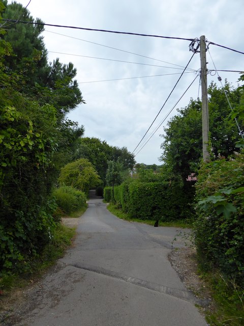
Image: © Simon Carey Taken: 4 Aug 2019
Residential road running south of Lower Waites Lane. The junction in the foreground is with the western part of Sea Road, once a through road but split into two through cliff erosion.
Images are licensed for reuse under creativecommons.org/licenses/by-sa/2.0
Image Location
Latitude
50.877744
Longitude
0.66996