Six Acres
Introduction
The photograph on this page of Six Acres by Simon Carey as part of the Geograph project.
The Geograph project started in 2005 with the aim of publishing, organising and preserving representative images for every square kilometre of Great Britain, Ireland and the Isle of Man.

There are currently over 7.5m images from over 14,400 individuals and you can help contribute to the project by visiting https://www.geograph.org.uk
Six Acres
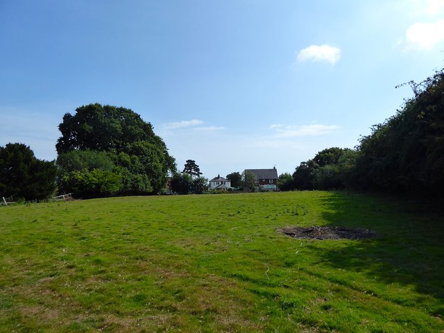
Image: © Simon Carey Taken: 1 Aug 2019
The name of the field according to Icklesham's 1845 tithe map which has been split into two separate sections, this is the smaller of the two located to the south of Toke Farmhouse. Maple Cottage on the left and Tarn House on the right are at the far end of the field.
Images are licensed for reuse under creativecommons.org/licenses/by-sa/2.0
Image Location
Latitude
50.915949
Longitude
0.659057