Kings Cross Thameslink
Introduction
The photograph on this page of Kings Cross Thameslink by Stephen McKay as part of the Geograph project.
The Geograph project started in 2005 with the aim of publishing, organising and preserving representative images for every square kilometre of Great Britain, Ireland and the Isle of Man.

There are currently over 7.5m images from over 14,400 individuals and you can help contribute to the project by visiting https://www.geograph.org.uk
Kings Cross Thameslink
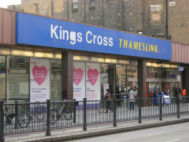
Image: © Stephen McKay Taken: 28 Nov 2007
The large posters in the window announce that this station will close from 9th December with First Capital Connect Thameslink Route services transferred to a new station built under St Pancras International. Many will be relieved; not only is this station inconveniently located on an unprepossessing stretch of Pentonville Road, but the facilities are inadequate for the numbers of passengers using it.
Images are licensed for reuse under creativecommons.org/licenses/by-sa/2.0
Image Location


Leaflet Map data © OpenStreetMap
Latitude
51.531105
Longitude
-0.120033